Skip to product information
1 of 4

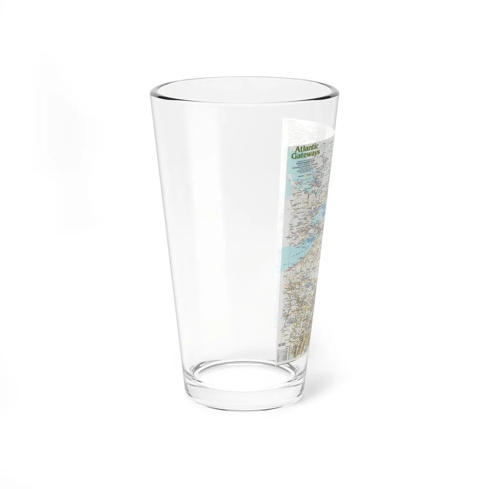
USA - Atlantic Gateways 1 (1983) (Map) Pint Glass 16oz

USA - Atlantic Gateways 1 (1983) (Map) Pint Glass 16oz

Regular price €21,95 EUR
Regular price Sale price €21,95 EUR
Sale Sold out
Shipping calculated at checkout.
Size

100 in stock

🎉 **Bulk Discounts Available!**

Buy 3 or more – 5% OFF
Buy 5 or more – 10% OFF
Buy 10 or more – 15% OFF

Discounts automatically applied at checkout 🛒

USA - Atlantic Gateways 1 (1983) (Map) This title refers to a map published in 1983, focusing on the Eastern seaboard of the United States, also known as the Atlantic Coast or the Atlantic Gateways. The map is likely named "Atlantic Gateways 1" due to its focus on key ports and waterways that serve as gateways to international trade and travel. The map provides geographical information about significant cities, landmarks, and transportation routes along the Eastern seaboard. It might also include details about political boundaries, topography, and other relevant features for navigation or understanding the region's infrastructure at the time of its publication. This historical map serves as a valuable resource for researchers, historians, and anyone interested in understanding the geographical context of the United States during the 1980s, particularly in terms of its Atlantic seaboard.
View full details

Product Info

About

Made from 100% glass, they're crystal clear and look sleek. The solid-glass base also minimizes the risk of tipping and spilling the drink. They're more narrow at the bottom for a more comfortable grip and easier carrying.

Multiple Uses

This mixing glass doubles as an ordinary glass and as a shaker glass for making mixed drinks.

Care Instructions

Clean in dishwasher (put the product on top rack), or wash by hand with warm water and dish soap.