Skip to product information
1 of 4

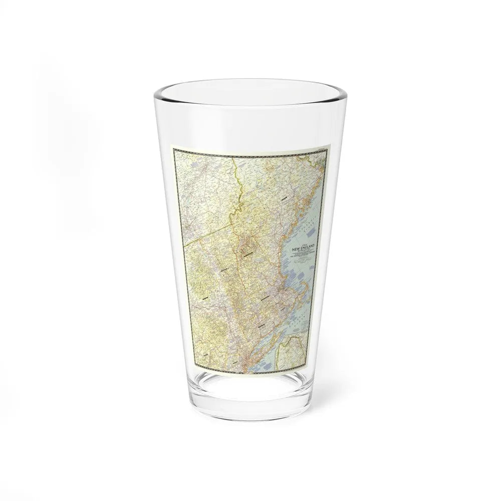
USA - New England (1955) (Map) Pint Glass 16oz

USA - New England (1955) (Map) Pint Glass 16oz

Regular price €21,95 EUR
Regular price Sale price €21,95 EUR
Sale Sold out
Shipping calculated at checkout.
Size

100 in stock

🎉 **Bulk Discounts Available!**

Buy 3 or more – 5% OFF
Buy 5 or more – 10% OFF
Buy 10 or more – 15% OFF

Discounts automatically applied at checkout 🛒

USA - New England (1955) (Map) This title refers to a historical map of the New England region of the United States, specifically published in 1955. The map provides geographical details of the six states that make up New England: Maine, Vermont, New Hampshire, Massachusetts, Rhode Island, and Connecticut. It offers insights into the political boundaries, cities, towns, rivers, and other topographical features of the region during this time period, offering a snapshot of the geography and administrative division of the area in 1955. This map serves as a valuable resource for historians, researchers, and individuals interested in understanding the regional and historical context of New England in the mid-20th century.
View full details

Product Info

About

Made from 100% glass, they're crystal clear and look sleek. The solid-glass base also minimizes the risk of tipping and spilling the drink. They're more narrow at the bottom for a more comfortable grip and easier carrying.

Multiple Uses

This mixing glass doubles as an ordinary glass and as a shaker glass for making mixed drinks.

Care Instructions

Clean in dishwasher (put the product on top rack), or wash by hand with warm water and dish soap.