


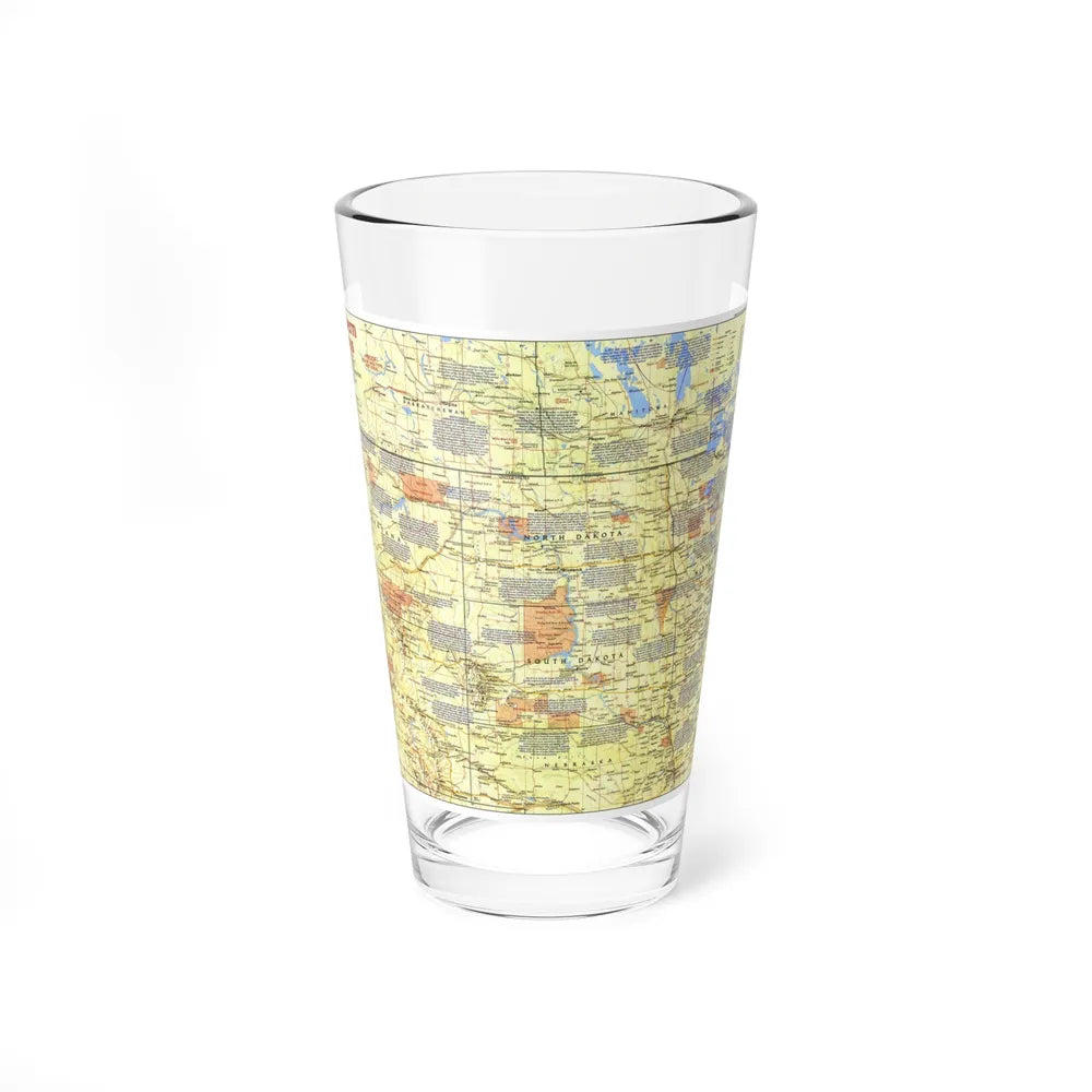
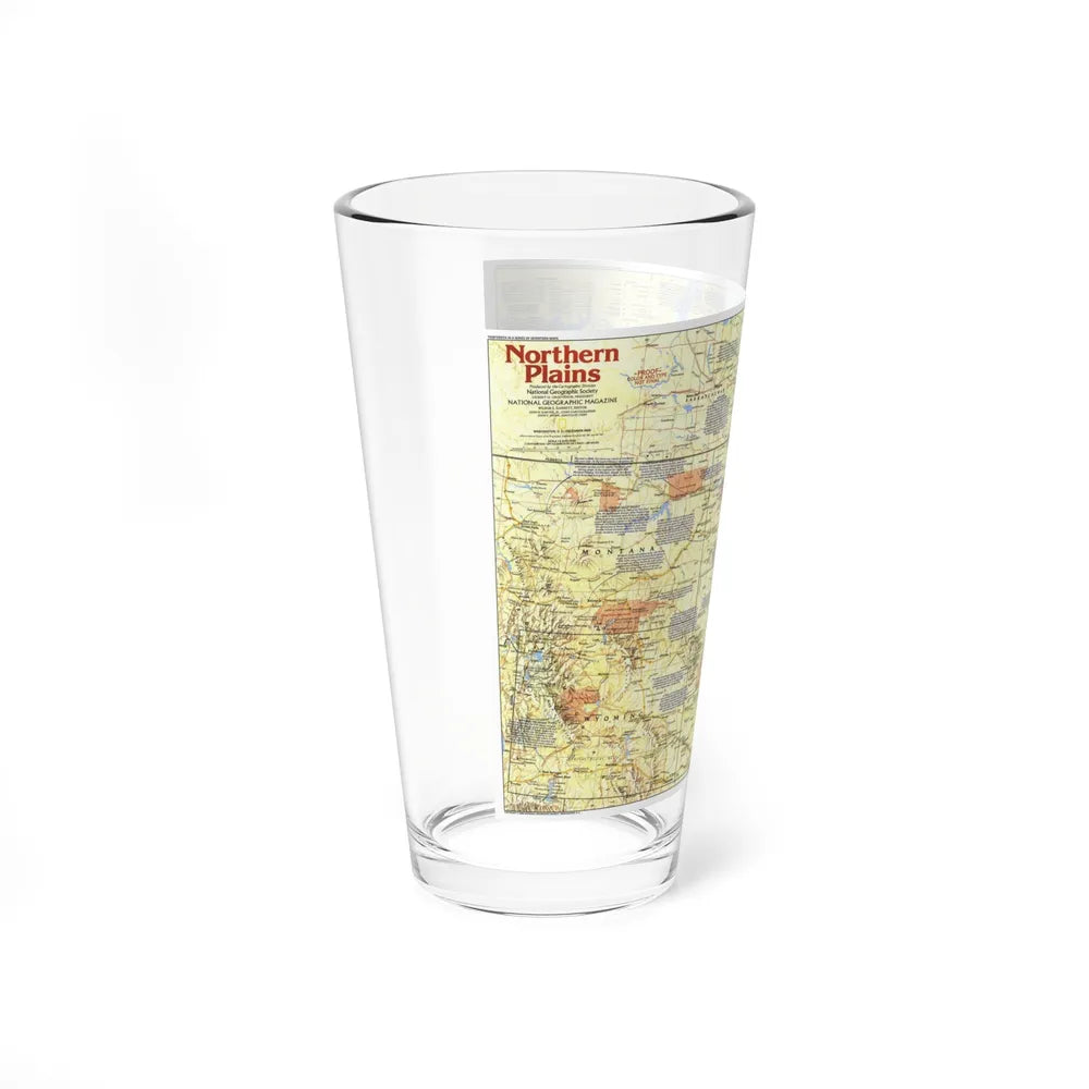
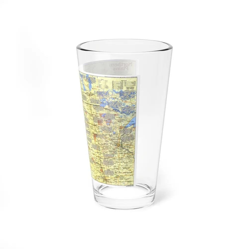
USA - Northern Plains 1 (1986) (Map) Pint Glass 16oz
USA - Northern Plains 1 (1986) (Map) Pint Glass 16oz
100 en existencias
No se pudo cargar la disponibilidad de retiro
🎉 **Bulk Discounts Available!**
Discounts automatically applied at checkout 🛒
Share
Collections: Maps , Pint Glasses , Productos más nuevos , Productos más vendidos , Products Beginning With U
Product Info
About
Made from 100% glass, they're crystal clear and look sleek. The solid-glass base also minimizes the risk of tipping and spilling the drink. They're more narrow at the bottom for a more comfortable grip and easier carrying.
Multiple Uses
This mixing glass doubles as an ordinary glass and as a shaker glass for making mixed drinks.
Care Instructions
Clean in dishwasher (put the product on top rack), or wash by hand with warm water and dish soap.