


Clear 16 oz (≈0.47 L) pint glasses made from solid glass with a heavy base for steady placement. Narrower at the bottom for an easier grip and balanced feel — durable, dishwasher-safe, and ideal for both serving and mixing.
These pints are crafted from 100% clear glass that showcases the drink inside — color, clarity and carbonation are all visible. A heavier, solid base reduces tipping and gives the glass a satisfying weight in the hand while the gently tapered body makes holding and carrying more comfortable.
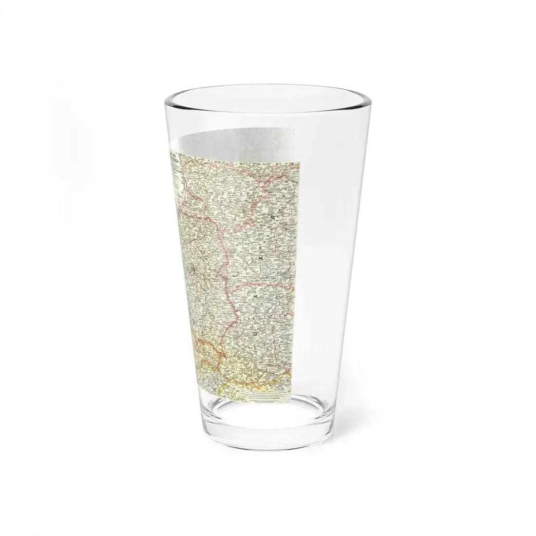
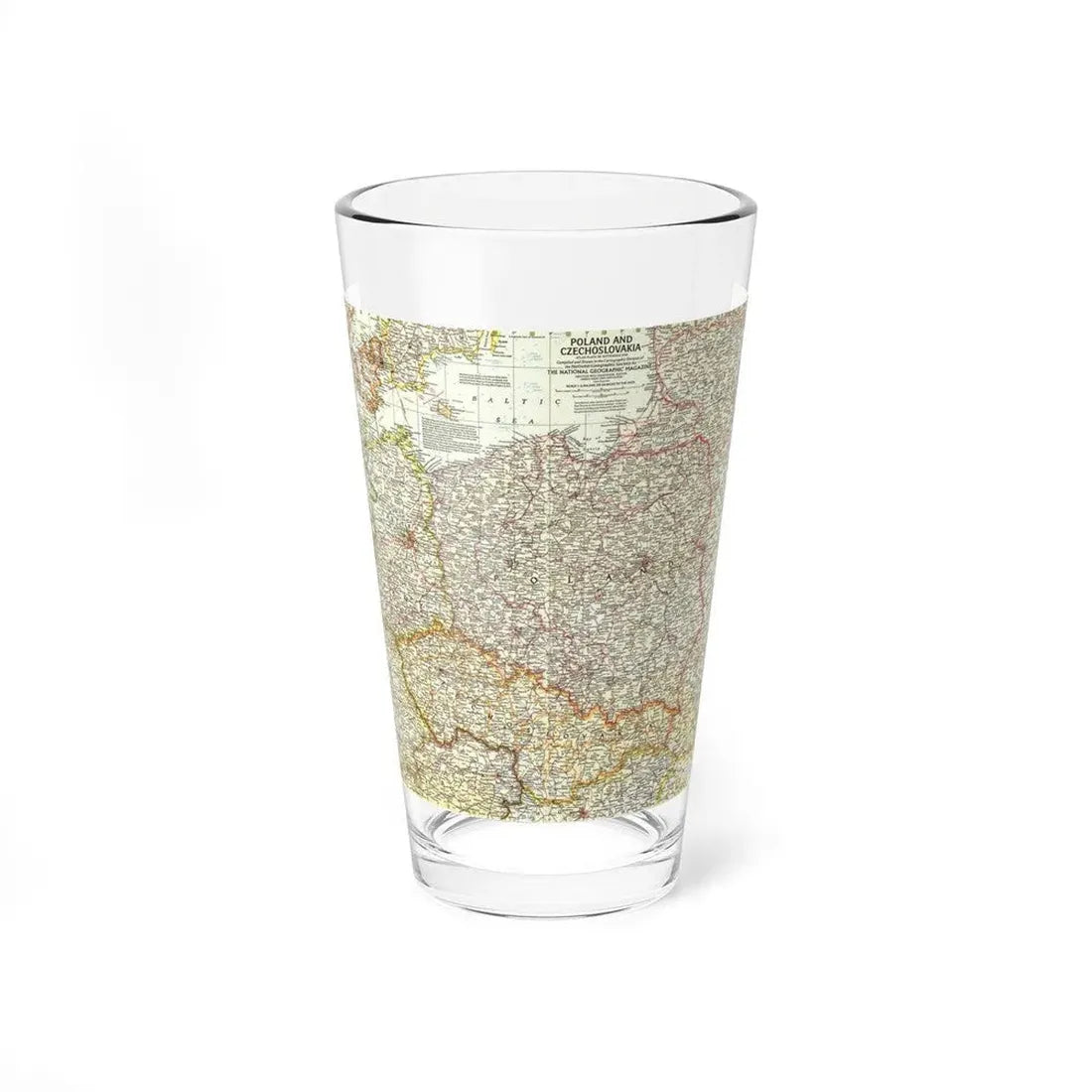
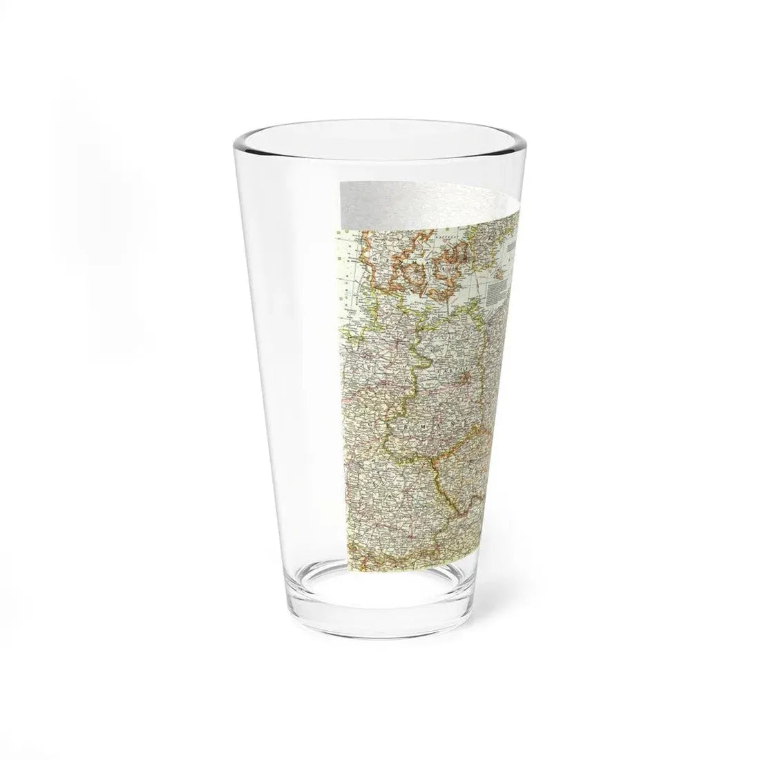
Built to last, the construction resists chipping under normal use and is suitable for busy service environments as well as retail display. One-sided print work reads bright against the clear surface; the overall aesthetic is clean and modern.
- Material: 100% clear glass for pure clarity and gloss.
- Capacity: 16 oz (standard U.S. pint / ≈0.47 L).
- Base: heavy solid glass base reduces tipping and improves balance.
- Shape: narrower bottom for a comfortable grip and easier carrying.
- Durability: dishwasher-safe and built for regular use.
Use these glasses for draft pours, mixed drinks, iced beverages and more. Their clear walls show off color and bubbles, which makes them a great choice for menus, tasting flights, and bars where presentation matters.
- Serving: ideal for beers, sodas, iced teas and cocktails served cold.
- Mixing: also works as a simple mixing glass for shaken or stirred cocktails in casual settings.
- Display: clean silhouette fits behind bars, on shelves, or on retail racks.
Quick tip: because the base is heavier, these glasses feel stable on trays and counters — handy when serving multiple drinks at once.
These glasses are dishwasher-safe; place them on the top rack and use a regular household cycle. For best longevity, avoid stacking them tightly and steer clear of high-heat commercial wash cycles when possible.
Hand wash with warm water and mild dish soap when you want to preserve maximum clarity and avoid sudden temperature shocks. Handle by the body, not just the rim, to reduce the chance of accidental chipping.
One size: 16 oz (≈0.47 L). Below are product dimensions to help with shelving, storage, and packaging choices.
Size guide
All measurements are product dimensions in inches.
| 16 oz | |
|---|---|
| Height (in) | 5.90 |
| Rim diameter (in) | 3.40 |
| Bottom diameter (in) | 2.30 |
Note: dimensions are nominal — small manufacturing tolerances may apply. Allow a margin if precise fitment or stacking is required.